| File information |
| Album name: |
mitko / Denmark |
| Current status (active, not active, museum etc): |
Active |
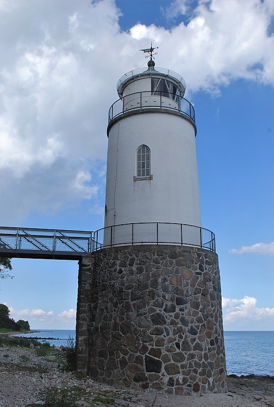
| Height of the tower, m: |
19 |
Focal plane elevation above sea level, m: |
15 |
| Light Description (light sectors, colour of the light, number of flashes etc): |
Group occulting, 2 flashes per 12s, 127-135 green, 135-139 white, 139-174 red, 174-186 green, 186-323 white, 323-127 no light |
| Range, nm: |
white 15 nm, green 12 nm, red 12 nm |
| Coordinates (in any format): |
55 0.4046 N 9 57.8355 E |
| Displayed: |
14 times |
| Date added: |
Aug 23, 2020 |
| DateTime Original: |
2020:08:19 14:40:05 |
| Keywords: |
Denmark ; Little Belt ; Jylland |
| BBCode: |
|
| Download Link: |
Open picture in new window |
Use ctrl + scroll to zoom the map
Imagery ©2020 , Aerodata International Surveys, Maxar Technologies, Scankort

|
from JC’s Naval, Maritime and Military News https://ift.tt/2EZJKh3
via IFTTT
Discover more from JCs Royal New Zealand Navy Ships and New Zealand Defence, Also other World Defence Updates
Subscribe to get the latest posts sent to your email.